 Marshall Islands sailing charts
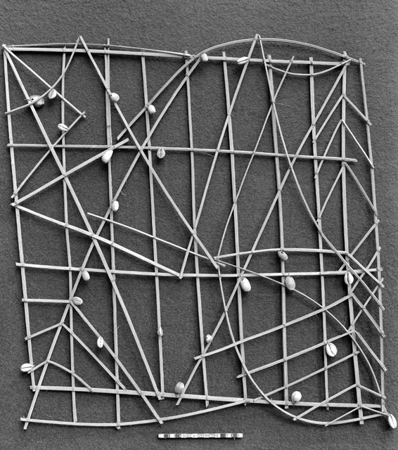
If you visited the Science Museum between 9th June 2010 and 1st March 2015 you may have spotted a rather unusual sailing chart displayed in the Population Movement case in their new ‘Who am I?’ gallery. The chart, a sailing chart of the Marshall Islands in the South Pacific, was one of five originally donated to the Royal Colonial Institute in 1875 by Sir George LeHunte G.C.M.G., private secretary to Sir Arthur Hamilton-Gordon, Governor of Fiji.
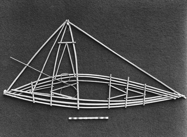
It is made of sticks and shells, tied with palm fibre—the curved sticks representing ocean currents and swell, curving from contact with islands; the shells representing islands. Apparently the Marshall Islanders memorised the patterns on the charts to navigate from island to island—they were not carried on voyages. According to LeHunte the Marshall Islands charts were used until the middle of the nineteenth century.
The Science Museum displayed the sailing chart, alongside raft boats, to illustrate patterns of travel, migration and population amongst the islands of Polynesia and New Zealand.
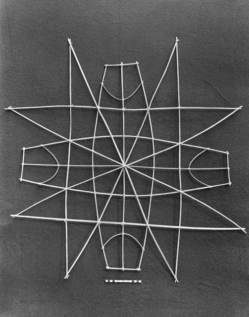
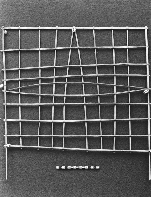
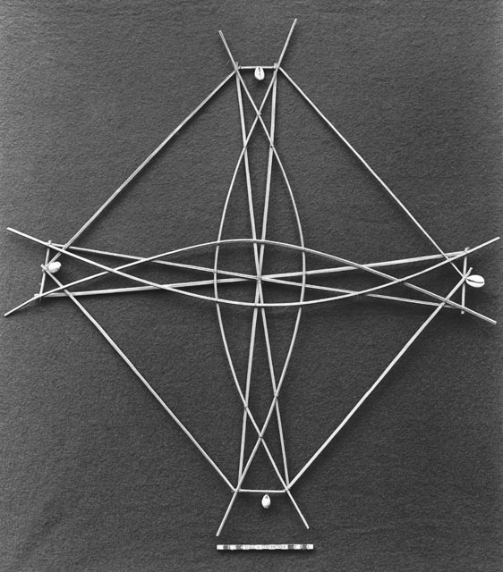
The chart was loaned to the Science Museum in 1927 by the Royal Empire Society (renamed Royal Commonwealth Society in 1958). The Royal Commonwealth Society Library now forms part of Cambridge University Library’s Special Collections. Images of the other four sailing charts in the RCS artefact collection are shown below.
Rachel Rowe
The Smuts Librarian for South Asian and Commonwealth Studies
References
- Col. Sir Henry Lyons, F.R.S, 'The sailing charts of the Marshall Islanders: a paper read at the afternoon meeting of the Society, 14 May 1928' [and the Discussion that followed], Geographical Journal, 72/4 (Oct. 1928), 325–28.
