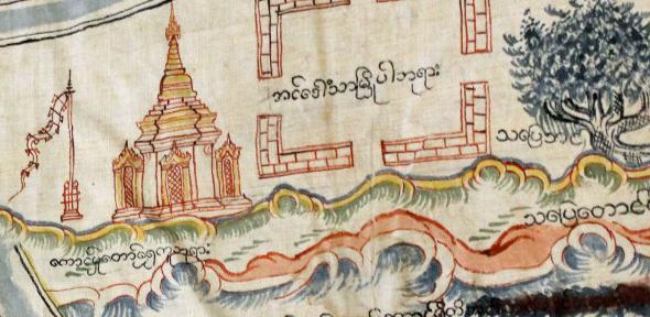
Details of exhibitions featuring material from the Map Department's collections as well talks and seminars on the subject of cartography can be found below.
We also often host talks and displays of material as part of the Cambridge Science Festival, Festival of Ideas and Open Cambridge events. Please see their respective programmes for details.
Exhibitions
Milstein Exhibition Centre
The Library has a programme of public exhibitions that can be seen in the Milstein Exhibition Centre. These often feature items from the Map collections. Early in 2015, for example, the Waterloo exhibition - ‘A Damned Serious Business’ : Waterloo 1815, the battle and its books - featured several maps, some of which can be viewed at here. Infomation on the current exhibition can be found here. A list of exhibitions held between 1998 and 2013, with links to online content where it exists, can be found here.
North Front Corridor
Until September 2018 the Map Department was able to curate a number of of smaller exhibitions, based on its collections, in the cases near the Map Room in the North Front Corridor. These cases are no longer available but information on past displays can be found here.
Seminars and Talks
Once a term Emmanuel College hosts a seminar about the History of Cartography. For the latest programme and information on previous talks please click on the link below.
Cambridge Seminars in the History of Cartography
For a complete list of Cambridge Seminars in the History of Cartography since 2006 click here
In 2007 Sarah Tyacke delivered three lectures for the Sandars Lectures programme titled: Conversations with maps: world views in early modern Europe. The text of the lectures, delivered at Cambridge University Library on 5-8 March 2007, is available for consultation in the Map Room at classmark Maps.20.T.20
Other Events
Cartographic Conferences, Meetings and Lectures. List maintained on the History of Cartography site.
'Maps and Society' Lectures, Warburg Institute, London
Oxford Seminars in Cartography (TOSCA)
Image credit: extract from Maps.MS.Plans.R.c.1
